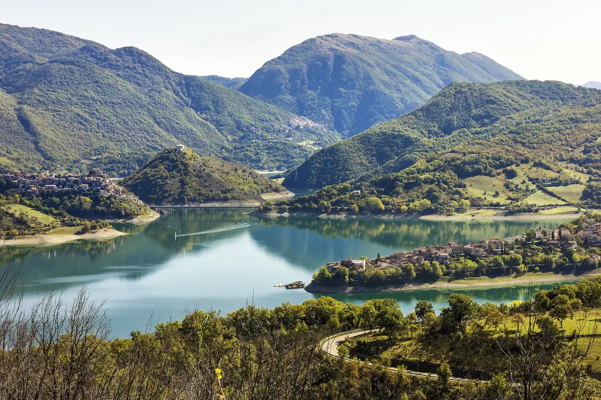
Lago del Salto hiking: the Monte Navegna and Monte Cervia reserve
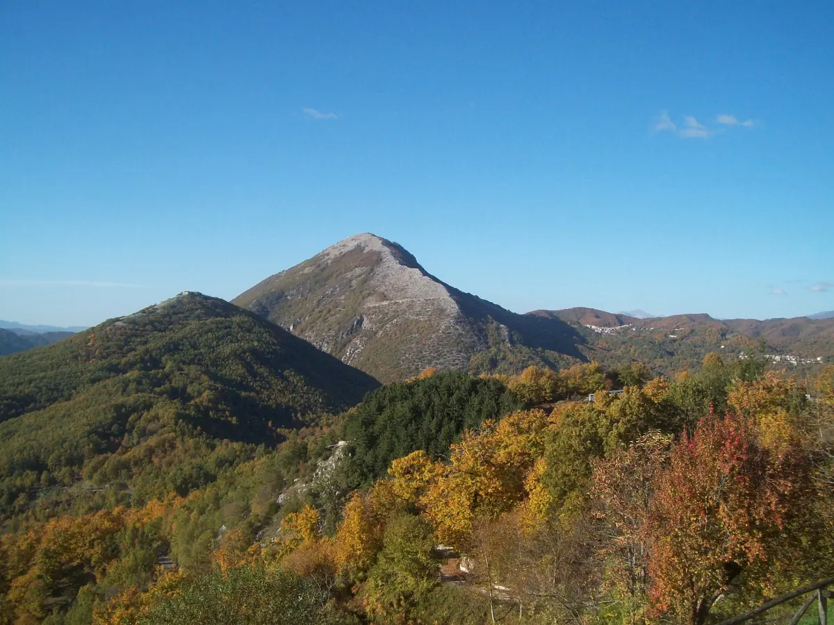
Lago del Salto hiking happens in the hills around the lakes, above all in the Monte Navegna and Monte Cervia nature reserve, which frames Lago del Turano. It is a regional reserve, not a national park, and use of the trails comes with rules. Monte Navegna reaches about 1,500 m. Monte Cervia is the pointed peak you see above the Turano villages.
Plan these walks as mountain days. The one route with full figures below climbs and descends, has no water point and no food on the way. If you prefer a guide, the page on day trips and guided visits shows what can be booked around the lakes.
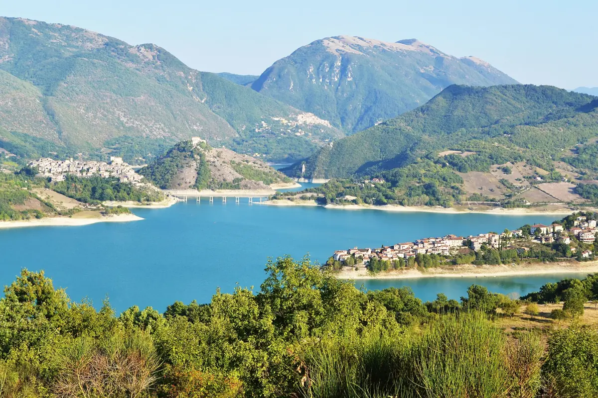
Route CAI 336: Cerreto to Certo Piano
The one walk in the reserve with full figures.
The figures
The route covers 5.7 km in about 2 hours 20 minutes. It climbs 370 m and descends 195 m, and its grade is E, an ordinary hiking path with no climbing. It is not a circuit along the lake.
The start
You join the path at the SP 29 road near Cerreto, on the way from Cerreto to Marcetelli and towards Collegiove.
What is on the way
Nothing: no water point, no restaurant and no place to sleep. Carry all the water and food you need. The path is not suitable for wheelchairs or strollers.
When to go
The route is walkable except when there is a lot of snow. In the province of Rieti, daily highs average about 27 °C in July and August and about 7 °C in January, and snow lies on the higher ground in winter. For the months, see weather and best time to visit.
Our pick: a guided hike on Mount Navegna
If you would rather walk with a guide than plan the route yourself, this day hike with an environmental guide covers Mount Navegna.
Hand-picked tours, booked through GetYourGuide. Prices are indicative starting prices in euros (as of October 2026). Tap a tour for live availability and the current price in your currency.
Guided walks and day trips around the lakes
Guided visits, boat trips and day trips around Lago del Salto, Lago del Turano and Rieti, with live prices and availability.
Other routes in the reserve
The trail network connects the mountain villages with the peaks.
| Route | Distance | Time | Notes |
|---|---|---|---|
| Cerreto to Certo Piano (CAI 336) | 5.7 km | 2 h 20 min | Grade E, 370 m up |
| Paganico to Monte Cervia | Check locally | Check locally | Link to the peak |
| Ascrea to Monte Navegna | Check locally | Check locally | Link to the peak |
| Castel di Tora to Monte Navegna | Check locally | Check locally | Link to the peak |
| Varco Sabino to Fonte Le Forche | Check locally | Check locally | Starts at the foot of Monte Navegna |
For most walkers, start with the CAI 336 route, because its distance and time are known. For the others, get the current distance and time from a signpost or the reserve before you set out.
Trail numbers on older maps and signs do not always match, so follow the sign at the trailhead and carry a current map. There is a visitor centre in Ascrea, on Via Aldo Moro; check its opening before you plan a stop there. Ascrea is one of the lake villages described on the page about Lago del Turano.
The guided walk to Antuni from Castel di Tora
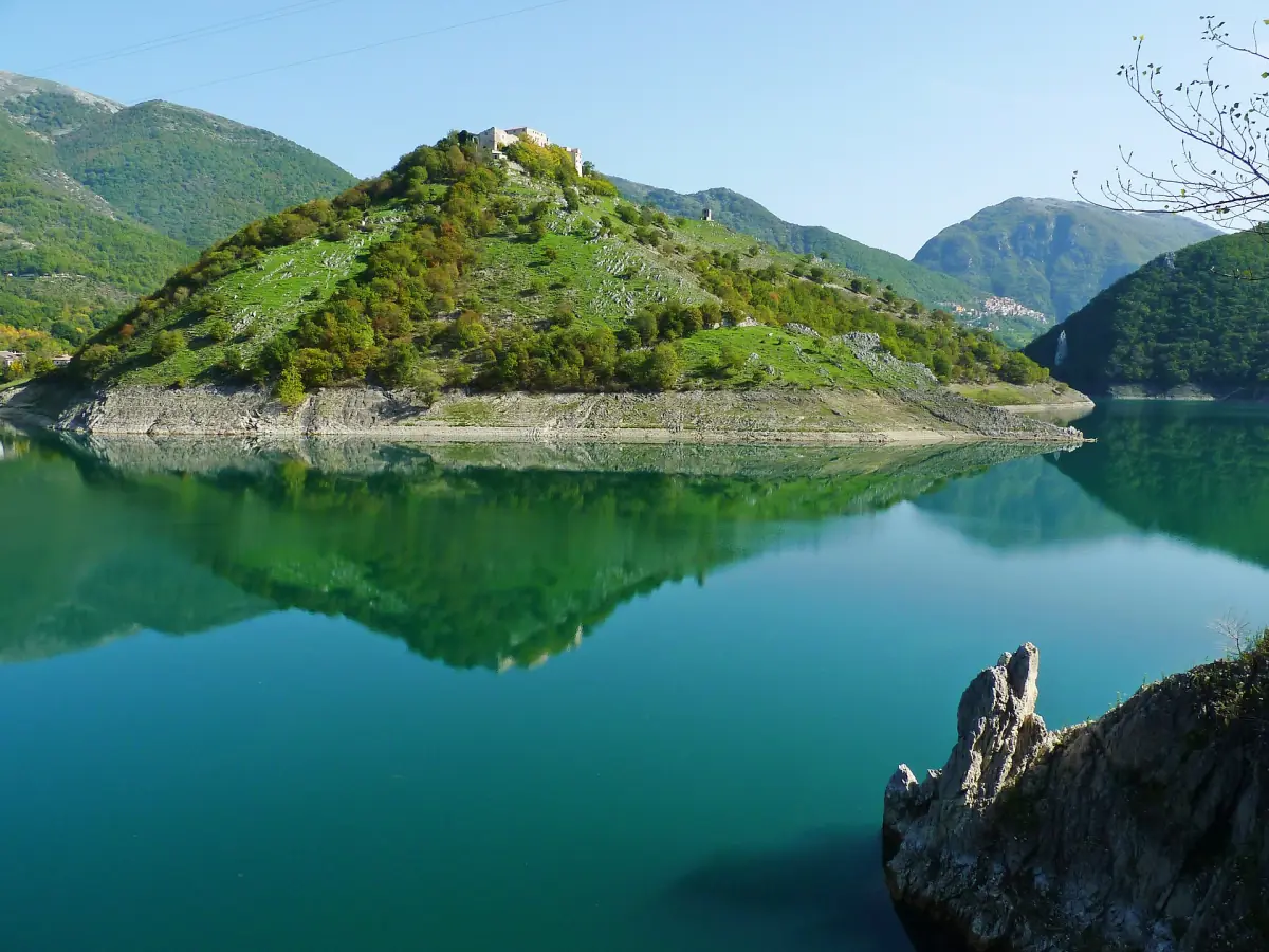
Antuni and the Eremo San Salvatore are not a free walk. The municipality of Castel di Tora requires a reservation and an authorised guide. The meeting point is the information point at the turnoff to Castel di Tora, where the Monte Antuni path begins.
Fees are €6 for adults and €3 for ages 6 to 16 (2026). Groups run from 5 to 30 people. Sunday and holiday slots are 09:30 to 12:30, and from April to October also 16:00 to 19:00. Saturday and the day before a holiday have a morning slot, 09:30 to 12:30, and on weekdays visits depend on availability. The village alone takes about 2 hours, the village with the hermitage about 3 hours. The access to the village is a gravel track and the hermitage is reached on a narrow mountain path, so it is not step-free. More about the village is on the page for Castel di Tora.
Rules and safety in the reserve
The reserve asks walkers to camp only in designated areas, limits motor vehicles and advises against bringing pets, so ask the reserve before you bring a dog. Check the signs at the trailhead for closures.
Wear proper boots and carry water, a charged phone and a map. A more demanding ridge route on Monte Terminillo is not recommended for anyone prone to vertigo, so pick your day by ability, not by the view.
Plan the rest of your trip
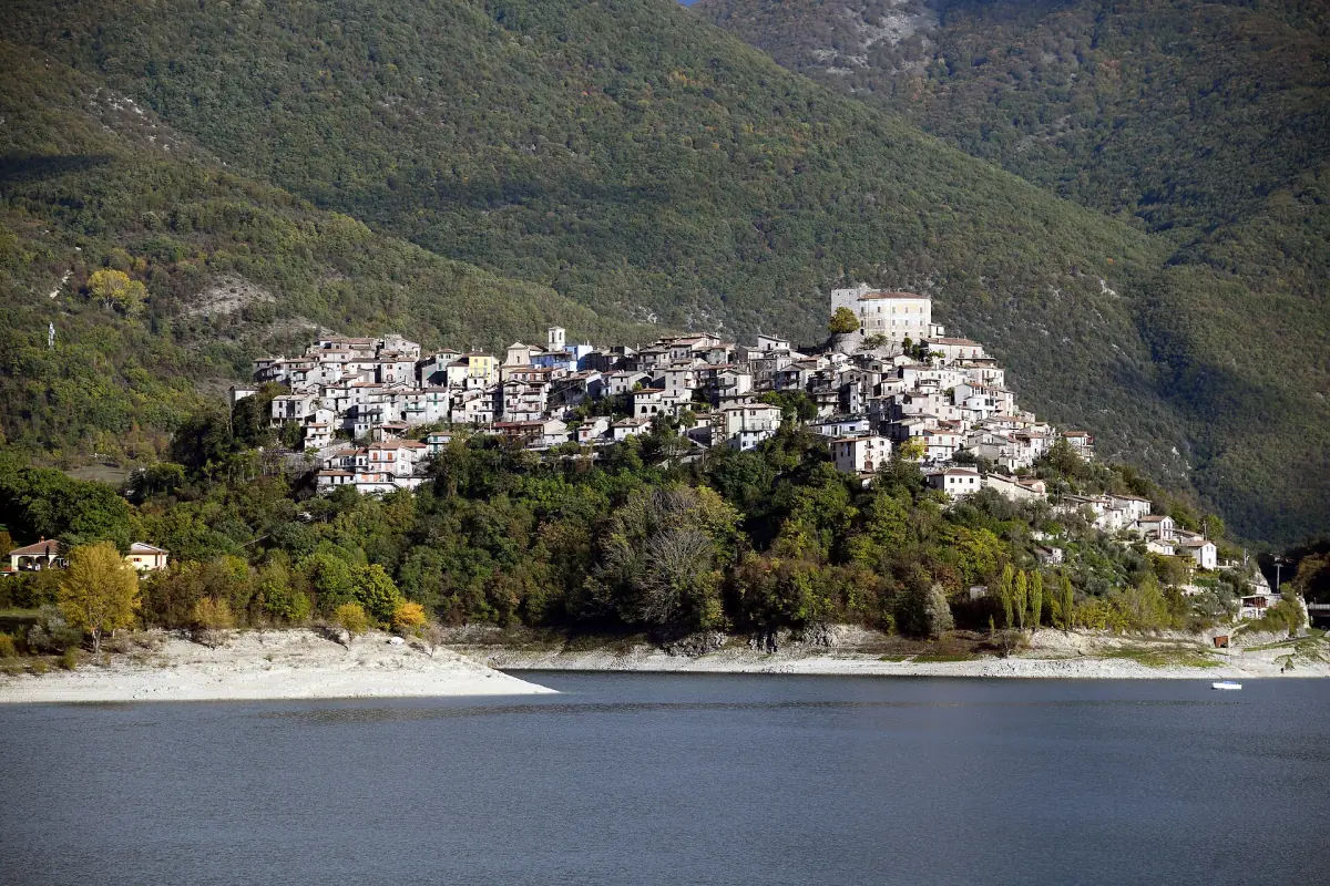
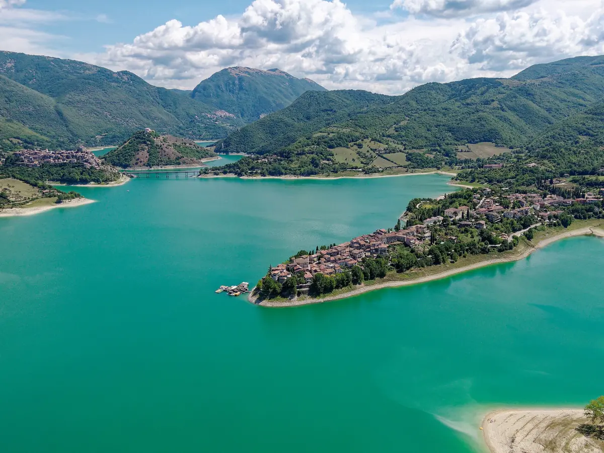
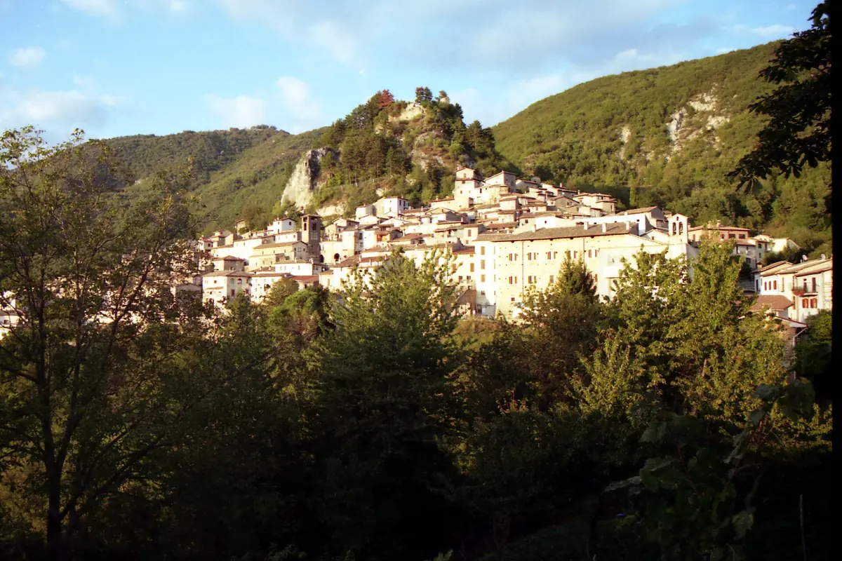
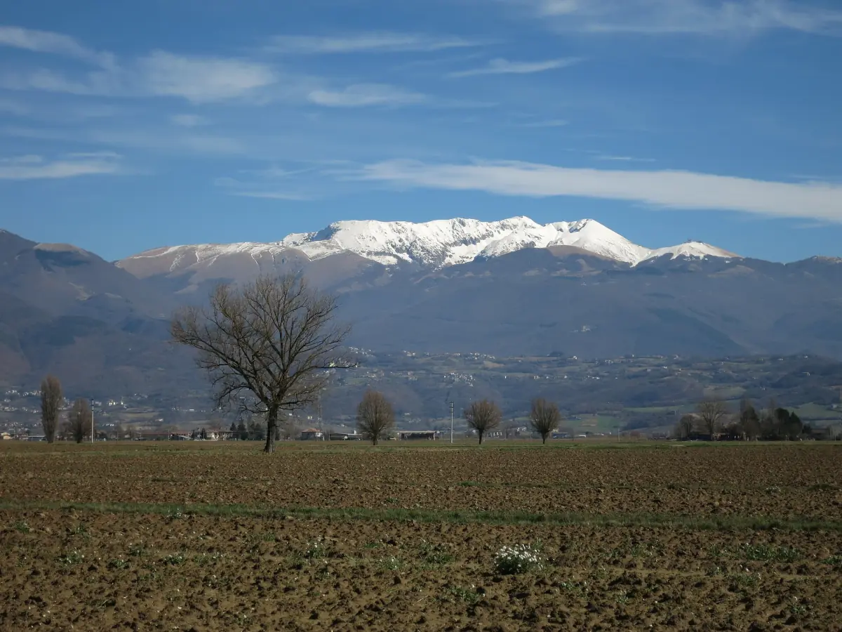
Villages and mountains to combine with a walk.
Hiking around Lago del Salto: frequently asked questions
Is there an easy path around the lake?
Not a continuous one. The routes listed here are mountain paths with climbs. If you want a gentle day, choose a village such as Castel di Tora and walk its lanes.
How hard is the CAI 336 route?
Grade E, which means an ordinary hiking path. It is 5.7 km long, takes about 2 hours 20 minutes and climbs 370 m. Expect no water, no food and no shelter on the way.
Can I walk to Antuni on my own?
No. Visits to Antuni and the Eremo San Salvatore require a reservation and an authorised guide. The fee is €6 for adults and €3 for ages 6 to 16 (2026).
Can I bring my dog?
The reserve advises against pets in general. Ask the reserve before you set out.
Is this the official website of the nature reserve?
No. This is an independent travel guide. It is not the website of the reserve, the municipalities, the Lazio region or the lake operator, and it is not connected to any tour operator or hotel.